

Coastal Adaptation Plan
Fraser River Estuary
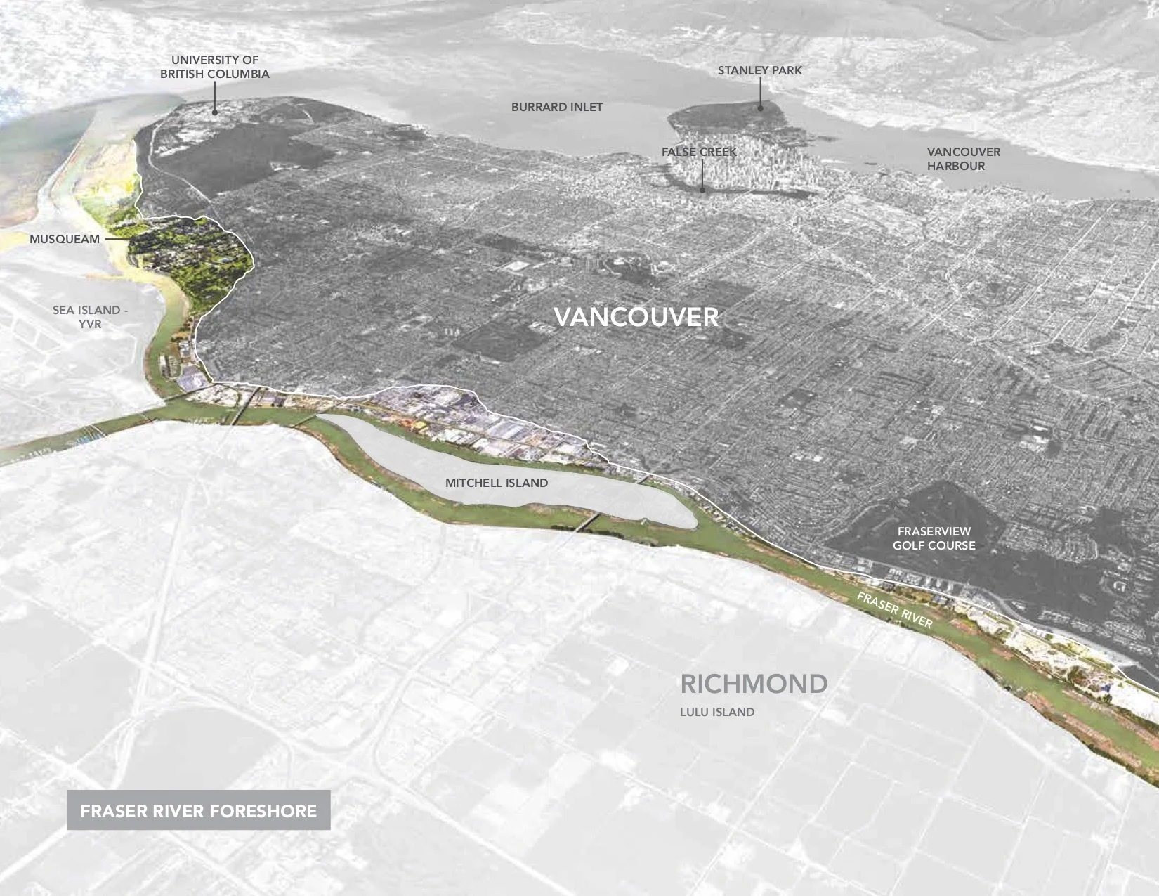
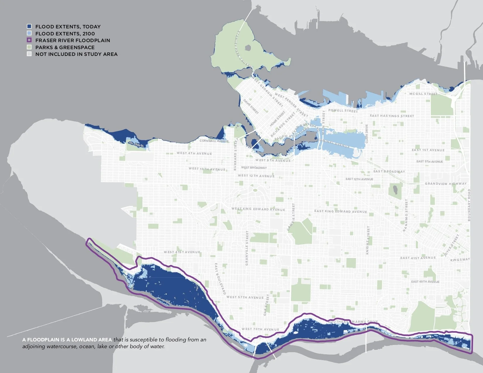
Vancouver’s coastline is changing, and the city is planning ahead. Along 16 kilometres of the Fraser River shoreline, the Coastal Adaptation Plan maps the risks, consequences, and vulnerabilities that rising seas bring to the city’s lands and infrastructure.
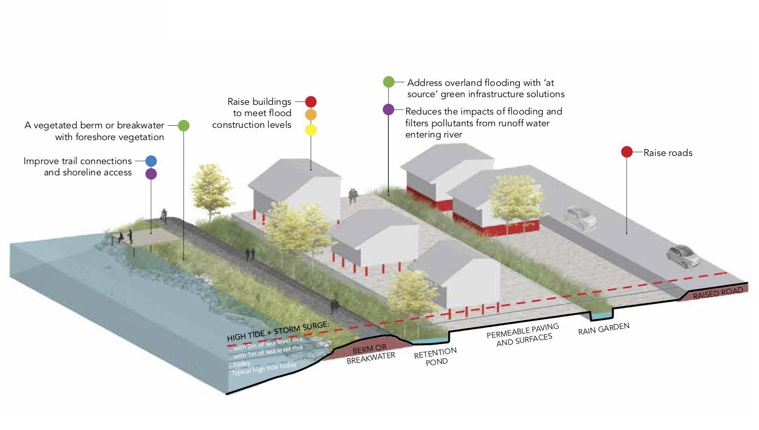
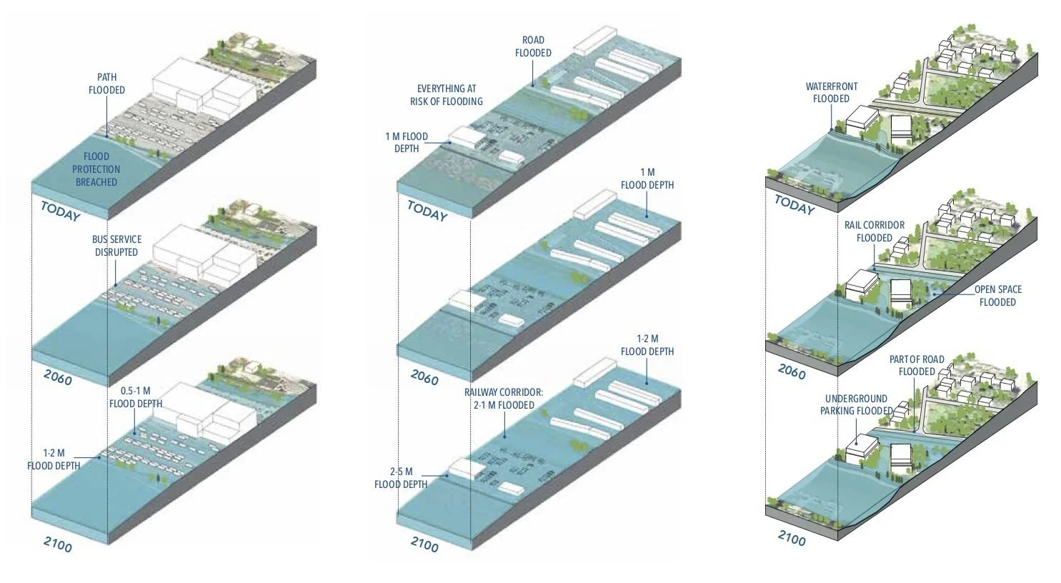
A collaborative process, including Musqueam First Nation, defines what the community values most. Clear, simple diagrams show people the long-term impacts, from industrial lands to residential neighbourhoods. Rooted in respect for the environment and green infrastructure, the plan blends natural processes, civic engagement, and strategic thinking for a resilient future. It earned a 2019 PIBC Gold Excellence in Planning Award.
LocationVancouver, BC
ForCity of Vancouver
StatusCompleted 2019
Budget$120K
CollaboratorsEcoPlan, NW Hydraulics
Award2019 PIBC Gold Research and Innovation
